


Welcome to College of Agriculture Nandurbar

From the Desk of Associate Dean
Nandurbar District is situated in the Northern part of the state of Maharashtra. The natural boundaries of satpuda hills along with Narmada river form its boundaries.It is spread over a geographical area of 5,955 Sq. Kms. It is 1.62% of the total Geographical area of Maharashtra. District has 06 tehsils with 4 Municipal council,01 Nagar Panchayat and 595 Grampanchayats. The two major west flowing rivers Tapi and Narmada and its tributaries criss cross through the district.
Most of the cultivators of Nandurbar districts cultivate banana, sugarcane, paddy, maize, soyabean, sunflower, chilli, tur, black gram, ground nut during kharip season and rabi jowar, wheat, gram and sunflower during rabi season.
Nandurbar district is the 4th largest tribal district of Maharashtra. Out of the population of the District i.e. 16.48 lakhs, 69.00 per cent population is tribal. The District has now been declared as most backward and undeveloped. To encourage and provide agricultural education to tribal students & farmers particularly with rural background, so as to increase their involvement in farming and allied agri-business activities and for empowerment of rural women college has been established on 1st August, 2018
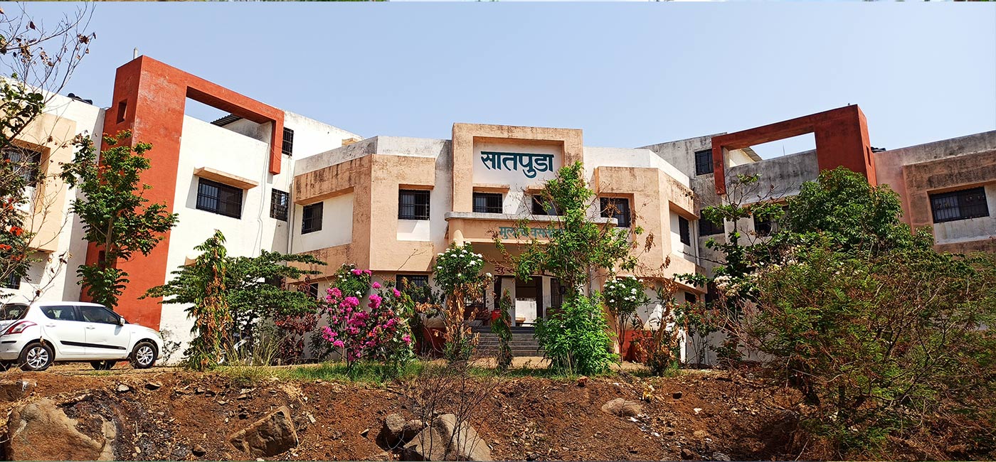
The college is located at Nandurbar- Dhule Road with different well equipped administrative buildings. The average rainfall is 1024.1 mm, with average maximum temperature of 40 0C in the months of May. This region comes under at 210 75'N latitude and 74012’ E longitudes with aelevation of 210 m MSL. This college encompasses total area of an about 40.00 hactares.
Every year total intake capacity of students is 60, out of which 80 % seats are reserved for Scheduled Tribe’s students.
Click Here To View Profile